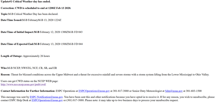
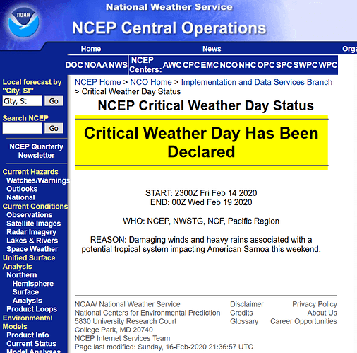
“EMWIN is a suite of data access methods which make available a live stream of weather and other critical emergency information.” Emergency Managers Weather Information Network
Originally, (20+ years ago) EMWIN ran at 1200 and 9600 bps. EMWIN-N (NexGen, 2009) runs at 19.2kbps.
Primarily broadcast via internet and satellite, there were/are a few local VHF and UHF relays.
Software such as Weather Message, ingests the messages and can activate local alarms when a local watch or warning occurs.
Even at only 19.2kpbs, this service generates a large amount of useful information.
While I enthusiastically support the idea of “Humanity’s Public Library.” I think looking a the system architecture of EMWIN would be very beneficial to Outernet developers. Especially, the idea of activating a local alarm based on local information.
See also: “Nixle keeps you up-to-date with relevant information from your local public safety departments & schools” [via SMS, email, etc] http://www.nixle.com/
cheers,
glenn

