Syed " What do you think would be the killer app, from a content perspective? Simply sending a comprehensive set of grib files? Or something else?"
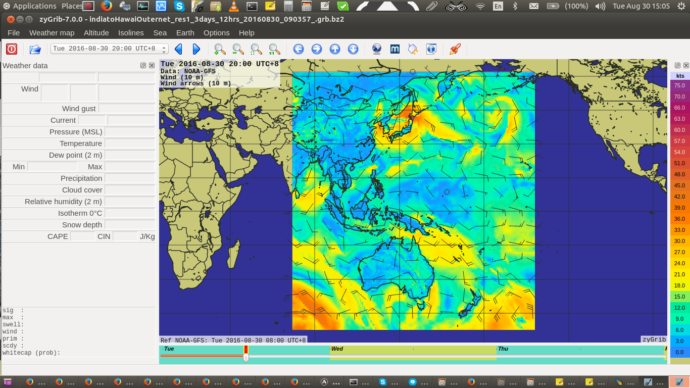
For people that cross oceans then grib weather forecast files would be essential.
But sending a broadcast every 6 hrs or 12 hrs with a world wide grib file could be something like 1 - 2 mb every 6 hours Assuming you want to send out most of the world.
But if we broke the grib up into the 3 regions as defined by Inmarsat then it would be a lot less information. Mariners at sea are only interested in their geographic regions grib. Possibly this could break the grib down to .6 to 1 Mb per region or even less.
It might be possible to use a special compression algorithm and remove a lot of redundant information as the current system is sort of designed to be a one off, stand alone data file but you will be using apps that could handle date , spacing etc so this information could be removed from the data set.
It might be possible to remove grib data from a worldwide grib file where the wind data is over land. This might reduce the data size by a third.
I think this kind of thinking on reducing grib file size has been worked on. I am hoping some of the excellent mariner programmers from the Opencpn project will get behing the Outernet Grib project and possibly something like a Opencpn Outernt Grib plugin could be born.
The open source navigation project Opencpn already has a Grib plugin and a RTL-SDR dongle plugin.
It might be possible with the grib file forecast to have the first four 6 hour forecast and then just give 12 hour forecasts. So a 3 day forecast would have
4 X 6 hrs day one
2 X 12 hrs day two.
2 X 12 hrs day three.
which version are you running? Viewer only works in V3.1 of rxOS on chip or rpi3. Its currently not included in OuternetInABox or on the desktop installers.
If you have not upgraded to 3.1, please grab it from We Moved!
or We Moved!
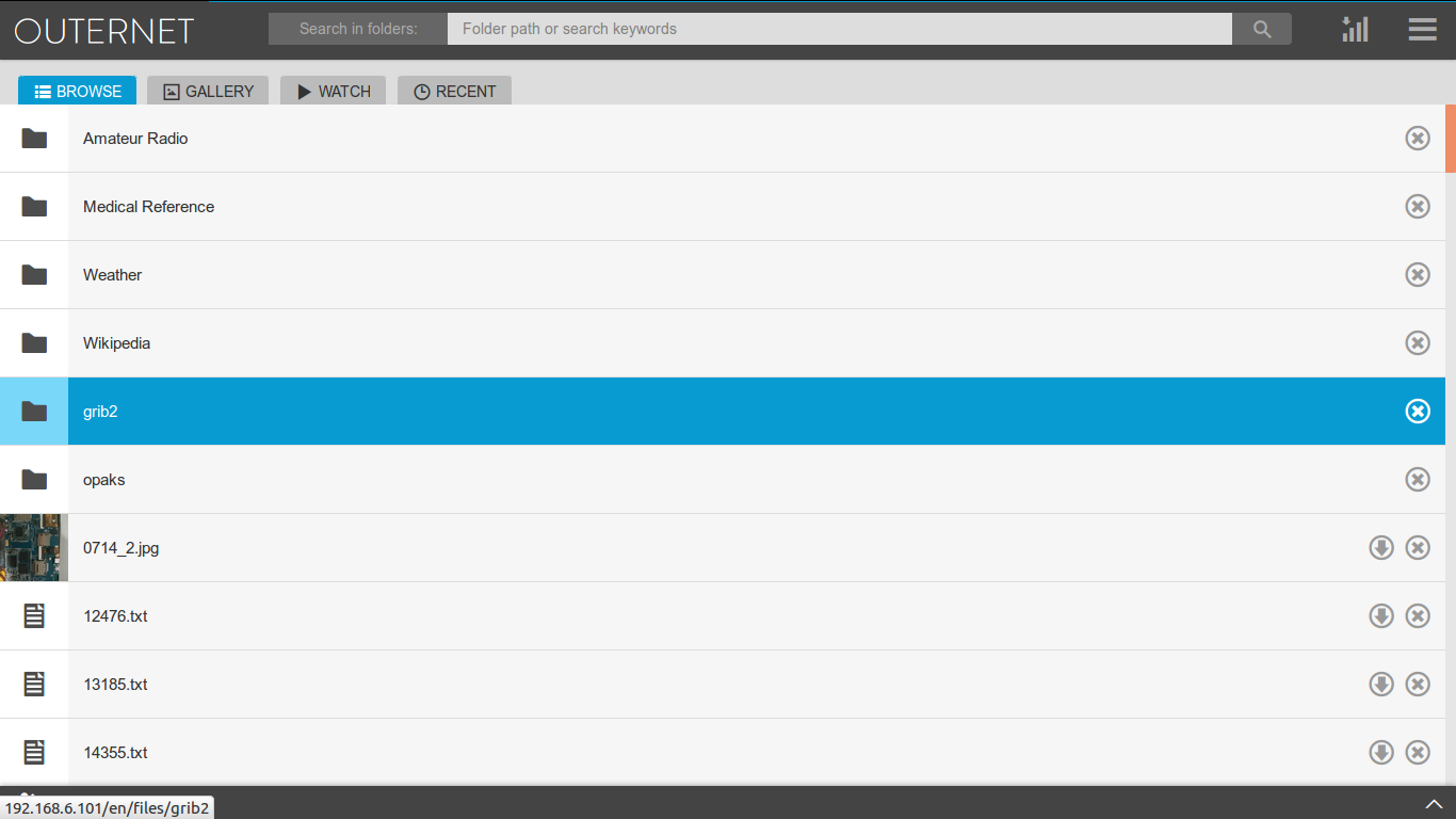
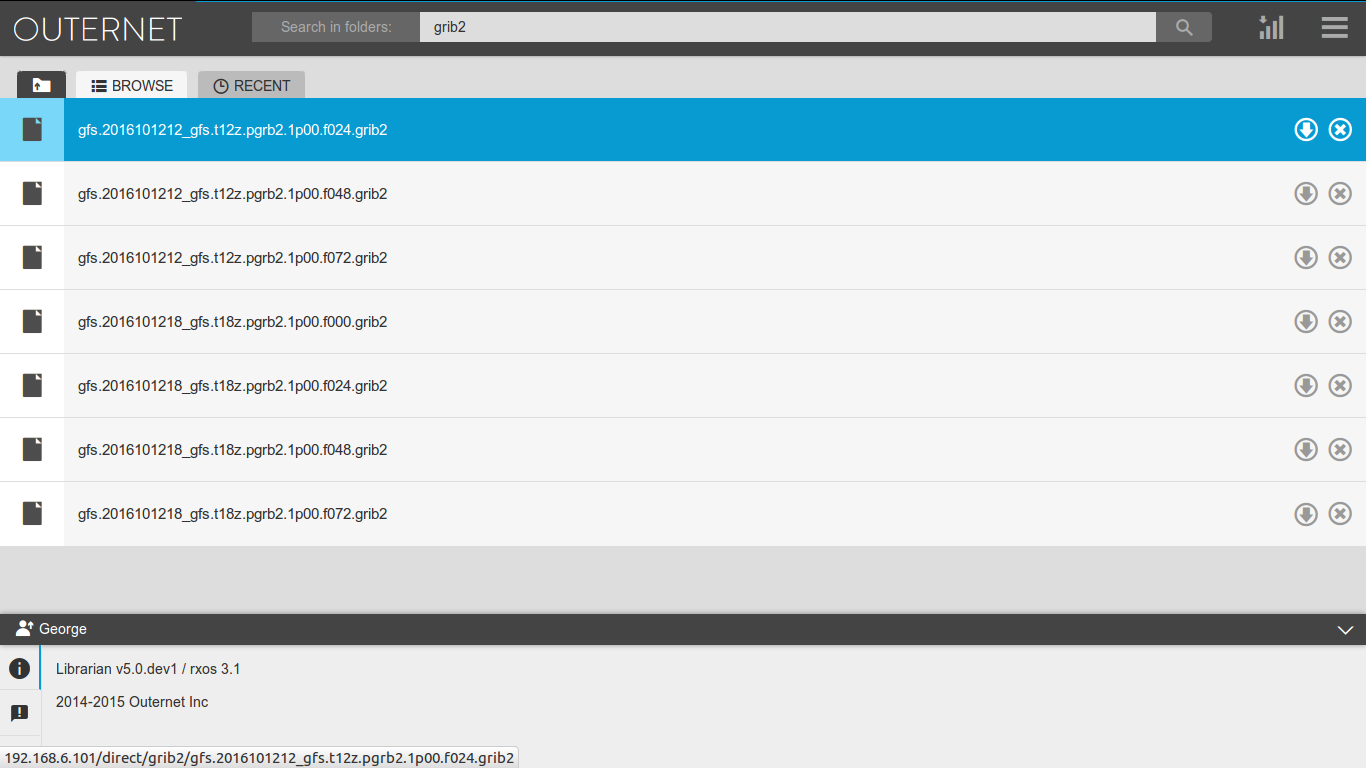
Note that the new gribs first download into the grib2 folder, but after processing get moved to the Weather/grib2 folder. So if you want to pull the files for use with desktop weather viewer software, you should pull from there. The naming of the files and subfolders in Weather/grib2 exactly mirrors the original NOAA naming.