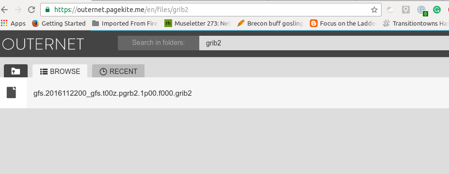
Hi. I recently purchased and setup a outernet receiver. The reason was to use it with GRIB weather data. I have read a lot of forums and websites on the topic. I however am having a tough time figuring out how to receive the latest GRIB files, where they are put, and how to view them. Now, I saw in the librarian a GRIB file folder was created and some weather data was downloaded. I also see there is data with current projections. Are those the files I want to look at? how do I see them? I notice they are in GRIB2 file format and all of the programs I am finding to try and open the data only do “normal” GRIB files, not GRIB2. Please help. Thanks
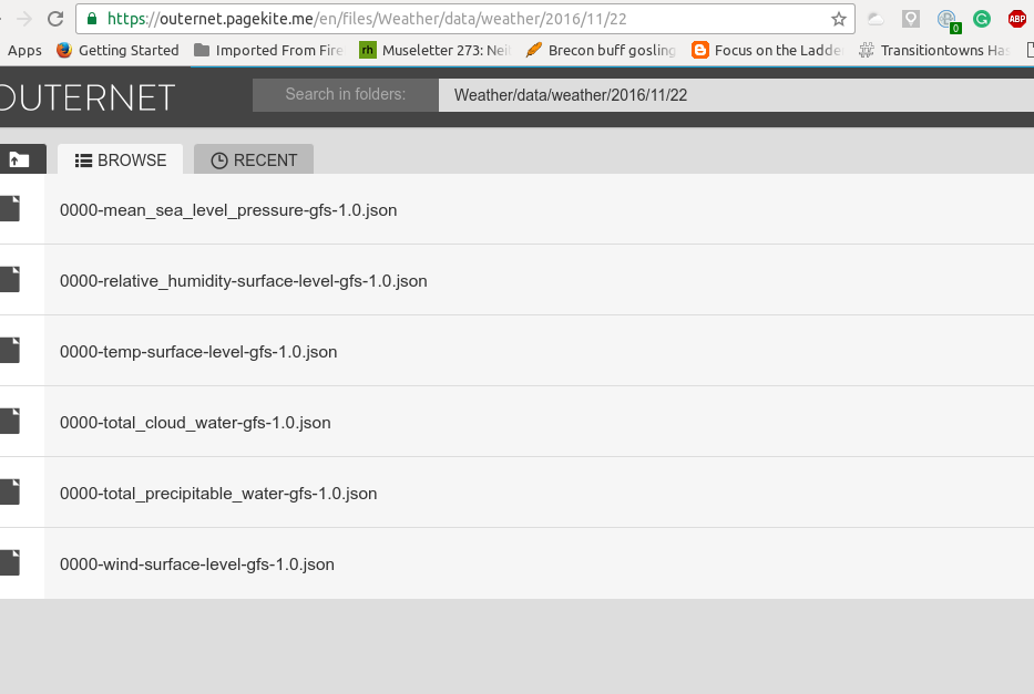
Our own default viewer is under the Weather folder. Is that showing up for you yet?
From my understanding, the Grib2 Viewer Outernet uses is the one provided by NOAA. It is an incredible piece of weather forecasting, prediction and real time display.
It takes approx 1 mb of data a day.
The animated gribs and gribb2 are not like you are used to as a mariner. Which is basically a series of arrows showing a wind layer out over a chart.
It may be possible in the future to superimpose the Outernet Grib2 data over say OPENCPN navigation package.